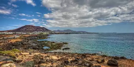
Lanzarote, known as the island of eternal spring, owing to its average annual temperature of 21º C, is situated at a distance of 1000 km from the Iberian Peninsula and 140 km from the African coast. This strategic location renders it an ideal destination for vacations.
It spans an area of 845.93 km2 and has a population of 147,023 inhabitants (as of 2017). Adjacent to the island are the islets or smaller islands of Alegranza, La Graciosa, Montaña Clara, Roque del Este, and Roque del Oeste.
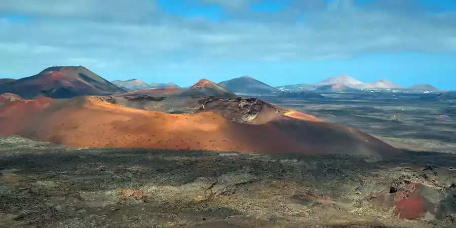
As the easternmost of the Canary Islands, one of its notable features is the abundance of volcanoes that dot its landscape, a result of significant volcanic activity primarily in the early eighteenth century.
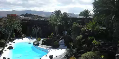
Lanzarote is home to the Timanfaya National Park and holds the status of being a UNESCO Biosphere Reserve, affording it protection and recognition for its environmental significance.

Lanzarote, the island with the most volcanic aspect of the Canary Islands, has almost half of its territory protected. It also became a Biosphere Reserve in 1993


Complete guide to the municipalities of Lanzarote, with the support of hundreds of unpublished photographs and maps of each and every one of the municipalities


The customs and traditions of Lanzarote reflect our way of being: our relationship with the territory, the economy or the society of the island.

It was declared a Biosphere Reserve in 1993 by the Organization of the United Nations for Education, Science and Culture (UNESCO),
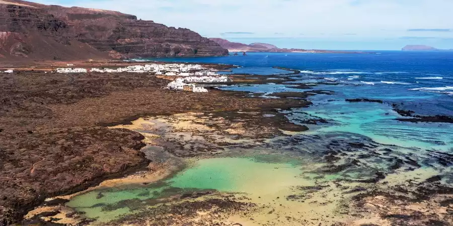


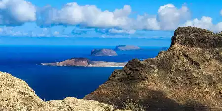
Group of islets formed by La Graciosa, Alegranza and Montaña Clara, together with Roque del Este and Roque del Oeste or from hell.
Promoción y turismo en internet